Attwood Terrace
Introduction
The photograph on this page of Attwood Terrace by Alan Murray-Rust as part of the Geograph project.
The Geograph project started in 2005 with the aim of publishing, organising and preserving representative images for every square kilometre of Great Britain, Ireland and the Isle of Man.

There are currently over 7.5m images from over 14,400 individuals and you can help contribute to the project by visiting https://www.geograph.org.uk
Attwood Terrace
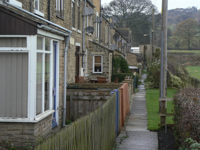
Image: © Alan Murray-Rust Taken: 10 Nov 2009
This is the earlier of two terraces built at right angles to the main Durham Road. This is the only access to the front of the houses. The rear access is a typically urban back lane http://www.geograph.org.uk/photo/1586197 . It takes its name from the founding family of the Wolsingham Ironworks.
Images are licensed for reuse under creativecommons.org/licenses/by-sa/2.0
Image Location
Latitude
54.729359
Longitude
-1.873726