Town meets country at Waterfoot
Introduction
The photograph on this page of Town meets country at Waterfoot by Stephen Sweeney as part of the Geograph project.
The Geograph project started in 2005 with the aim of publishing, organising and preserving representative images for every square kilometre of Great Britain, Ireland and the Isle of Man.

There are currently over 7.5m images from over 14,400 individuals and you can help contribute to the project by visiting https://www.geograph.org.uk
Town meets country at Waterfoot
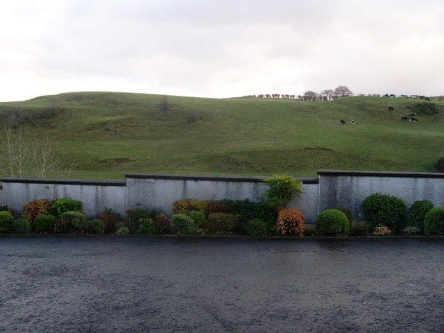
Image: © Stephen Sweeney Taken: 17 Nov 2009
A field of cattle behind a garden wall in Waterfoot village. Actually separated by the White Cart Water, so not as close as they appear.
Images are licensed for reuse under creativecommons.org/licenses/by-sa/2.0
Image Location
Latitude
55.765964
Longitude
-4.281295