Trig Point - Burton Reservoir
Introduction
The photograph on this page of Trig Point - Burton Reservoir by Anonymous as part of the Geograph project.
The Geograph project started in 2005 with the aim of publishing, organising and preserving representative images for every square kilometre of Great Britain, Ireland and the Isle of Man.

There are currently over 7.5m images from over 14,400 individuals and you can help contribute to the project by visiting https://www.geograph.org.uk
Trig Point - Burton Reservoir
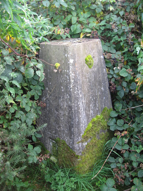
Image: © Anonymous Taken: 27 Aug 2009
Trig Point on top of a covered reservoir, listed by the OS as Burton Resr. Well hidden by brambles.
Images are licensed for reuse under creativecommons.org/licenses/by-sa/2.0
Image Location


Leaflet Map data © OpenStreetMap
Latitude
53.267817
Longitude
-3.018322