Track to Low Coniscliffe
Introduction
The photograph on this page of Track to Low Coniscliffe by Chris Heaton as part of the Geograph project.
The Geograph project started in 2005 with the aim of publishing, organising and preserving representative images for every square kilometre of Great Britain, Ireland and the Isle of Man.

There are currently over 7.5m images from over 14,400 individuals and you can help contribute to the project by visiting https://www.geograph.org.uk
Track to Low Coniscliffe
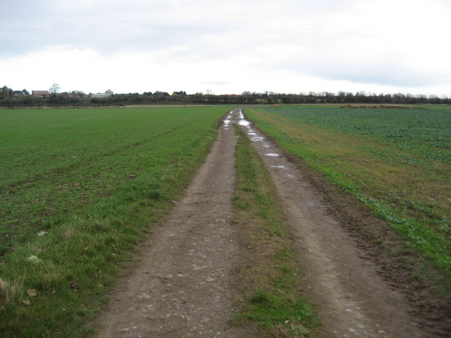
Image: © Chris Heaton Taken: 4 Nov 2009
This track runs from the River Tees across fields towards Low Coniscliffe - crossing the Great North Road en route.
Images are licensed for reuse under creativecommons.org/licenses/by-sa/2.0
Image Location
Latitude
54.522345
Longitude
-1.630111