Riverbank Erosion on the Tees
Introduction
The photograph on this page of Riverbank Erosion on the Tees by Chris Heaton as part of the Geograph project.
The Geograph project started in 2005 with the aim of publishing, organising and preserving representative images for every square kilometre of Great Britain, Ireland and the Isle of Man.

There are currently over 7.5m images from over 14,400 individuals and you can help contribute to the project by visiting https://www.geograph.org.uk
Riverbank Erosion on the Tees
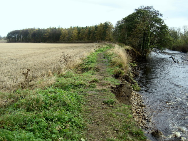
Image: © Chris Heaton Taken: 4 Nov 2009
Parts of the Teesdale Way long distance footpath are falling into the river through erosion, south of High Coniscliffe.
Images are licensed for reuse under creativecommons.org/licenses/by-sa/2.0
Image Location
Latitude
54.524553
Longitude
-1.647087