Mapperley Reservoir
Introduction
The photograph on this page of Mapperley Reservoir by Garth Newton as part of the Geograph project.
The Geograph project started in 2005 with the aim of publishing, organising and preserving representative images for every square kilometre of Great Britain, Ireland and the Isle of Man.

There are currently over 7.5m images from over 14,400 individuals and you can help contribute to the project by visiting https://www.geograph.org.uk
Mapperley Reservoir
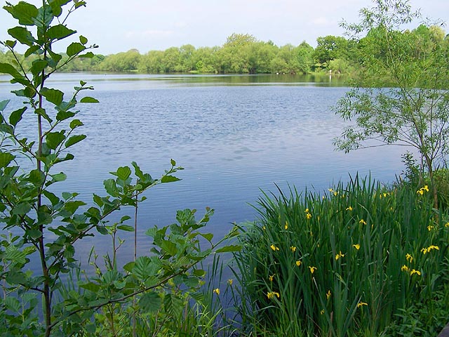
Image: © Garth Newton Taken: 28 May 2005
This was once used to feed the canal and is now a haven for wildlife. Well used by local anglers.
Images are licensed for reuse under creativecommons.org/licenses/by-sa/2.0
Image Location


Leaflet Map data © OpenStreetMap
Latitude
52.988441
Longitude
-1.356132