Varcos Corner
Introduction
The photograph on this page of Varcos Corner by Amanda King as part of the Geograph project.
The Geograph project started in 2005 with the aim of publishing, organising and preserving representative images for every square kilometre of Great Britain, Ireland and the Isle of Man.

There are currently over 7.5m images from over 14,400 individuals and you can help contribute to the project by visiting https://www.geograph.org.uk
Varcos Corner
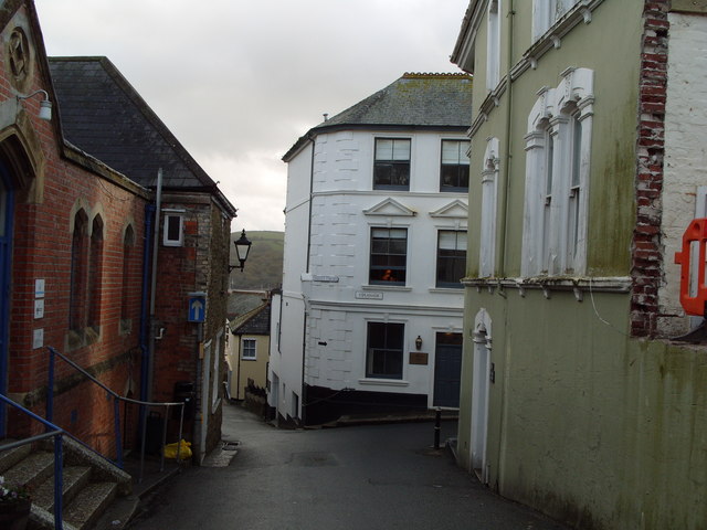
Image: © Amanda King Taken: 14 Nov 2009
Corner of Lostwithiel Street and the Esplanade. The white building used to be a local grocers known as Varcos. Unfortunately this is long gone now. The red bricked building on the left used to be a Masonic Hall, now just offices.
Images are licensed for reuse under creativecommons.org/licenses/by-sa/2.0
Image Location


Leaflet Map data © OpenStreetMap
Latitude
50.334607
Longitude
-4.635479