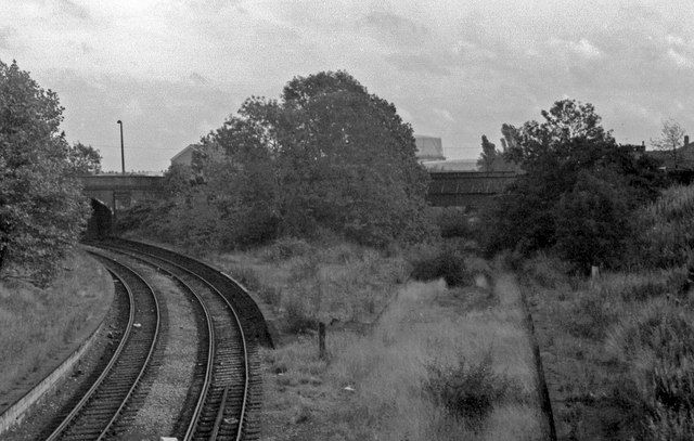
Overgrown and derelict remains of Priestfield Station. 1978.
Introduction
The photograph on this page of Overgrown and derelict remains of Priestfield Station. 1978. by Tim Marshall as part of the Geograph project.
The Geograph project started in 2005 with the aim of publishing, organising and preserving representative images for every square kilometre of Great Britain, Ireland and the Isle of Man.
There are currently over 7.5m images from over 14,400 individuals and you can help contribute to the project by visiting https://www.geograph.org.uk

Image: © Tim Marshall Taken: 26 Oct 1978
Overgrown and derelict remains of Priestfield Station, 1978. The former GWR tracks, still in situ at this time, curved away towards Bilston Central and Birmingham (Snow Hill) whilst those formerly serving the West Midland Line platforms (closed 1962) once led in the direction of Bilston West and, eventually, Stourbridge Junction. Note the ex GWR ATC ramp still in place on the Wolverhampton line at the bottom of the picture. The former GWR line had closed to passenger traffic in 1972 and was later reopened as the Midland Metro, Wolverhampton (St George's) to Birmingham (Snow Hill).

