Nan Hazle's Lane
Introduction
The photograph on this page of Nan Hazle's Lane by Keith Evans as part of the Geograph project.
The Geograph project started in 2005 with the aim of publishing, organising and preserving representative images for every square kilometre of Great Britain, Ireland and the Isle of Man.

There are currently over 7.5m images from over 14,400 individuals and you can help contribute to the project by visiting https://www.geograph.org.uk
Nan Hazle's Lane
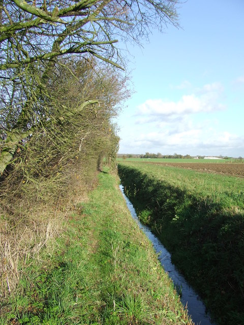
Image: © Keith Evans Taken: 15 Nov 2009
The track to the left of the drain is marked on the O.S. 1:25:000 as Nan Hazle's Lane near to Allwood Green, Suffolk.
Images are licensed for reuse under creativecommons.org/licenses/by-sa/2.0
Image Location
Latitude
52.321332
Longitude
1.015804