Ickford Telephone Exchange, Bucks
Introduction
The photograph on this page of Ickford Telephone Exchange, Bucks by David Hillas as part of the Geograph project.
The Geograph project started in 2005 with the aim of publishing, organising and preserving representative images for every square kilometre of Great Britain, Ireland and the Isle of Man.

There are currently over 7.5m images from over 14,400 individuals and you can help contribute to the project by visiting https://www.geograph.org.uk
Ickford Telephone Exchange, Bucks
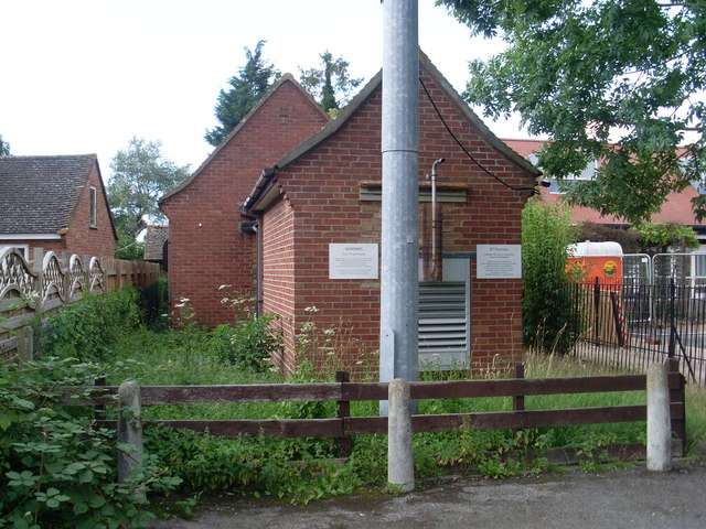
Image: © David Hillas Taken: 25 Jul 2009
Situated in Sheldon Road, both buildings would appear to be in use, the front one being built earlier. The pole in front of the TE has two microwave aerials at the top. In addition to Ickford, this TE also serves Tiddington, Waterperry, Waterstock and Worminghall nearby. Its postcode is HP18 9HY.
Images are licensed for reuse under creativecommons.org/licenses/by-sa/2.0
Image Location
Latitude
51.760806
Longitude
-1.060186