Hello/Goodbye Macclesfield
Introduction
The photograph on this page of Hello/Goodbye Macclesfield by michael ely as part of the Geograph project.
The Geograph project started in 2005 with the aim of publishing, organising and preserving representative images for every square kilometre of Great Britain, Ireland and the Isle of Man.

There are currently over 7.5m images from over 14,400 individuals and you can help contribute to the project by visiting https://www.geograph.org.uk
Hello/Goodbye Macclesfield
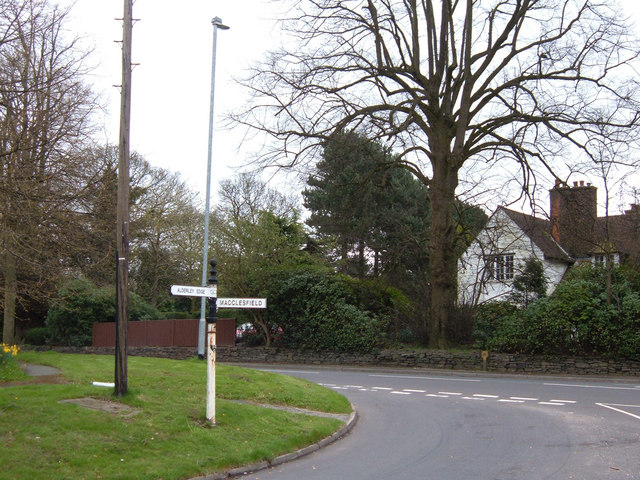
Image: © michael ely Taken: 25 Apr 2006
Here we are at the end of Macclesfield's urban sprawl where the B5087 (Alderley Road) is crossed by a minor road linking Macclesfield with Prestbury (Priory Lane/Macclesfield Road). View NE.
Images are licensed for reuse under creativecommons.org/licenses/by-sa/2.0
Image Location
Latitude
53.273683
Longitude
-2.155912