Lambes Bridge
Introduction
The photograph on this page of Lambes Bridge by Simon Carey as part of the Geograph project.
The Geograph project started in 2005 with the aim of publishing, organising and preserving representative images for every square kilometre of Great Britain, Ireland and the Isle of Man.

There are currently over 7.5m images from over 14,400 individuals and you can help contribute to the project by visiting https://www.geograph.org.uk
Lambes Bridge
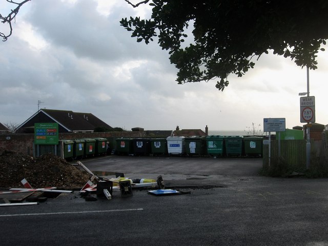
Image: © Simon Carey Taken: 15 Nov 2009
Now a recycling centre and small car park for a nearby parade of shops but formerly the northern end of Edinburgh Road at its junction with Claremont Road. The former has been diverted to join the latter to the south of the railway.
Images are licensed for reuse under creativecommons.org/licenses/by-sa/2.0
Image Location
Latitude
50.775946
Longitude
0.092074