Trent and Mersey Canal by Shobnall Fields, Burton-upon-Trent
Introduction
The photograph on this page of Trent and Mersey Canal by Shobnall Fields, Burton-upon-Trent by Roger D Kidd as part of the Geograph project.
The Geograph project started in 2005 with the aim of publishing, organising and preserving representative images for every square kilometre of Great Britain, Ireland and the Isle of Man.

There are currently over 7.5m images from over 14,400 individuals and you can help contribute to the project by visiting https://www.geograph.org.uk
Trent and Mersey Canal by Shobnall Fields, Burton-upon-Trent
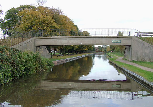
Image: © Roger D Kidd Taken: 17 Oct 2009
The bridge (32B) carries a footpath and Route 54 of the National Cycle Network (Stourport to Derby via Kidderminster, Dudley, and Lichfield and Burton).
Images are licensed for reuse under creativecommons.org/licenses/by-sa/2.0
Image Location
Latitude
52.81195
Longitude
-1.650421