The canal by Shobnall Fields, Burton-upon-Trent
Introduction
The photograph on this page of The canal by Shobnall Fields, Burton-upon-Trent by Roger D Kidd as part of the Geograph project.
The Geograph project started in 2005 with the aim of publishing, organising and preserving representative images for every square kilometre of Great Britain, Ireland and the Isle of Man.

There are currently over 7.5m images from over 14,400 individuals and you can help contribute to the project by visiting https://www.geograph.org.uk
The canal by Shobnall Fields, Burton-upon-Trent
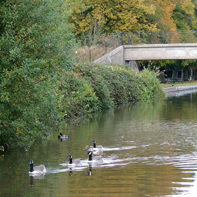
Image: © Roger D Kidd Taken: 17 Oct 2009
The Trent and Mersey canal was fully opened by 1777, though the Burton section had been completed by 1770, and planning started as early as 1758. The name Shobnall derives from Schobinhale, a family of Saxon knights.
Images are licensed for reuse under creativecommons.org/licenses/by-sa/2.0
Image Location
Latitude
52.811682
Longitude
-1.650868