Footpath by Burnt Mills Road, Nevendon
Introduction
The photograph on this page of Footpath by Burnt Mills Road, Nevendon by Trevor Harris as part of the Geograph project.
The Geograph project started in 2005 with the aim of publishing, organising and preserving representative images for every square kilometre of Great Britain, Ireland and the Isle of Man.

There are currently over 7.5m images from over 14,400 individuals and you can help contribute to the project by visiting https://www.geograph.org.uk
Footpath by Burnt Mills Road, Nevendon
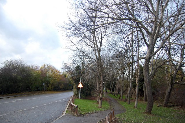
Image: © Trevor Harris Taken: 14 Nov 2009
Hidden by trees, Burnt Mills Industrial Estate is to the right, while a residential area is to the left of the road.
Images are licensed for reuse under creativecommons.org/licenses/by-sa/2.0
Image Location
Latitude
51.584007
Longitude
0.504303