Kilsyth, canal feeder
Introduction
The photograph on this page of Kilsyth, canal feeder by Robert Murray as part of the Geograph project.
The Geograph project started in 2005 with the aim of publishing, organising and preserving representative images for every square kilometre of Great Britain, Ireland and the Isle of Man.

There are currently over 7.5m images from over 14,400 individuals and you can help contribute to the project by visiting https://www.geograph.org.uk
Kilsyth, canal feeder
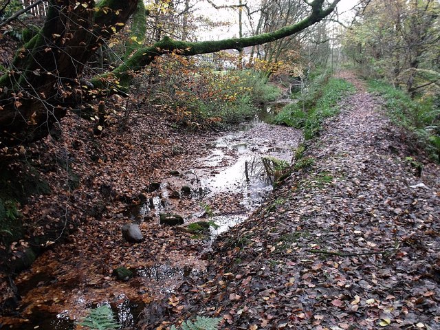
Image: © Robert Murray Taken: 15 Nov 2009
Originally the lade to the Garrel corn Mill. The mill has long closed down but this lade is still used as a canal feeder to deliver water along the contour to Townhead Reservoir which is used to store water for the Forth & Clyde Canal. British Waterways staff check the sluice regularly and open and close it as required in connection with the reservoir level. On the day the photo was taken there was no water coming through the sluice at all which is evident in the photo. RCAHMS www.canmore.rcahms.gov.uk/en/site/170781/details/forth+and+clyde+canal+garrel+burn+feeder/
Images are licensed for reuse under creativecommons.org/licenses/by-sa/2.0
Image Location
Latitude
55.981969
Longitude
-4.05451