Down St Mary and Morchard Bishop
Introduction
The photograph on this page of Down St Mary and Morchard Bishop by Philip Halling as part of the Geograph project.
The Geograph project started in 2005 with the aim of publishing, organising and preserving representative images for every square kilometre of Great Britain, Ireland and the Isle of Man.

There are currently over 7.5m images from over 14,400 individuals and you can help contribute to the project by visiting https://www.geograph.org.uk
Down St Mary and Morchard Bishop
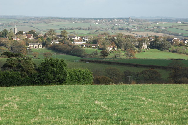
Image: © Philip Halling Taken: 15 Nov 2009
Many villages in mid-Devon are situated on high ground with their church towers a prominent feature of the landscape. Viewed here from the south-west are the villages of Down St Mary and Morchard Bishop with their respective church towers clear to see.
Images are licensed for reuse under creativecommons.org/licenses/by-sa/2.0
Image Location
Latitude
50.825813
Longitude
-3.786074