Boyd Street, Belfast (1)
Introduction
The photograph on this page of Boyd Street, Belfast (1) by Albert Bridge as part of the Geograph project.
The Geograph project started in 2005 with the aim of publishing, organising and preserving representative images for every square kilometre of Great Britain, Ireland and the Isle of Man.

There are currently over 7.5m images from over 14,400 individuals and you can help contribute to the project by visiting https://www.geograph.org.uk
Boyd Street, Belfast (1)
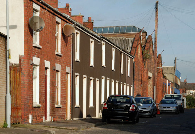
Image: © Albert Bridge Taken: 15 Nov 2009
Boyd Street was built towards the middle of the 19th century. At one time there were two entries off it (Boyd’s Court and Glasshouse Street). The view is towards Peter’s Hill. See also Image
Images are licensed for reuse under creativecommons.org/licenses/by-sa/2.0
Image Location
Latitude
54.602536
Longitude
-5.935535