New housing at Newtown St Boswells
Introduction
The photograph on this page of New housing at Newtown St Boswells by Walter Baxter as part of the Geograph project.
The Geograph project started in 2005 with the aim of publishing, organising and preserving representative images for every square kilometre of Great Britain, Ireland and the Isle of Man.

There are currently over 7.5m images from over 14,400 individuals and you can help contribute to the project by visiting https://www.geograph.org.uk
New housing at Newtown St Boswells
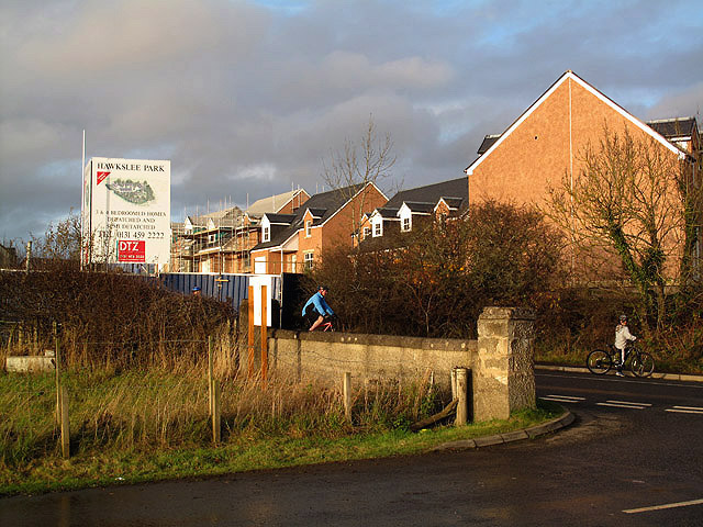
Image: © Walter Baxter Taken: 15 Nov 2009
These houses at Hawkslee Park are being built on a triangular piece of ground between the B6398 and the A68 at the east side of Newtown St Boswells.
Images are licensed for reuse under creativecommons.org/licenses/by-sa/2.0
Image Location


Leaflet Map data © OpenStreetMap
Latitude
55.574994
Longitude
-2.664823