The Westlink, Belfast (4)
Introduction
The photograph on this page of The Westlink, Belfast (4) by Albert Bridge as part of the Geograph project.
The Geograph project started in 2005 with the aim of publishing, organising and preserving representative images for every square kilometre of Great Britain, Ireland and the Isle of Man.

There are currently over 7.5m images from over 14,400 individuals and you can help contribute to the project by visiting https://www.geograph.org.uk
The Westlink, Belfast (4)
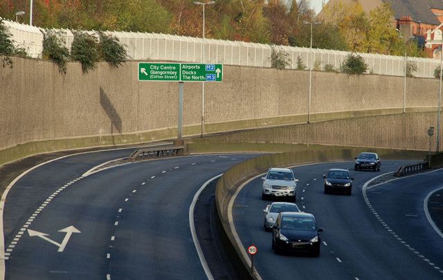
Image: © Albert Bridge Taken: 15 Nov 2009
See Image The view towards the M2 and Clifton Street from the flyover at Peter’s Hill. Note the absence of goods vehicles on a Sunday morning. The northbound carriageway (left) was closed from Divis Street. Continue to Image
Images are licensed for reuse under creativecommons.org/licenses/by-sa/2.0
Image Location
Latitude
54.604633
Longitude
-5.937286