Kilsyth, Garrel sluice and weir
Introduction
The photograph on this page of Kilsyth, Garrel sluice and weir by Robert Murray as part of the Geograph project.
The Geograph project started in 2005 with the aim of publishing, organising and preserving representative images for every square kilometre of Great Britain, Ireland and the Isle of Man.

There are currently over 7.5m images from over 14,400 individuals and you can help contribute to the project by visiting https://www.geograph.org.uk
Kilsyth, Garrel sluice and weir
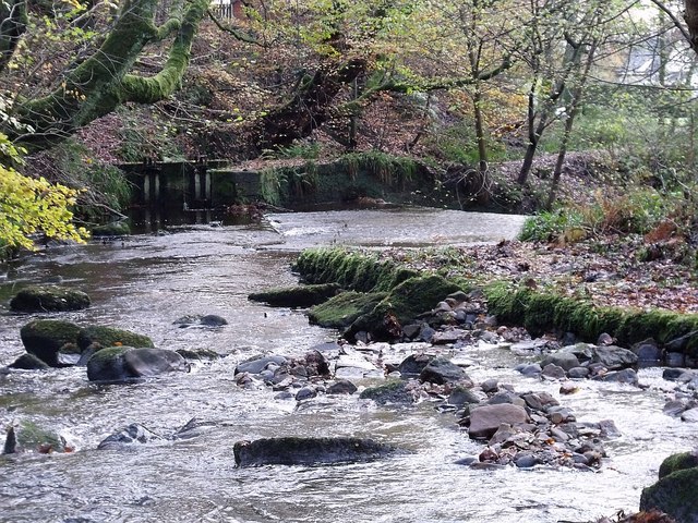
Image: © Robert Murray Taken: 15 Nov 2009
The sluice which allowed water from the burn to power the Garrel Corn Mill on the Tak Me Doon Road and still functions in the supply of water to the canal feeder to Townhead Reservoir. See also http://www.geograph.org.uk/photo/1582518
Images are licensed for reuse under creativecommons.org/licenses/by-sa/2.0
Image Location
Latitude
55.981705
Longitude
-4.054175