Track around the Fire College
Introduction
The photograph on this page of Track around the Fire College by Michael Dibb as part of the Geograph project.
The Geograph project started in 2005 with the aim of publishing, organising and preserving representative images for every square kilometre of Great Britain, Ireland and the Isle of Man.

There are currently over 7.5m images from over 14,400 individuals and you can help contribute to the project by visiting https://www.geograph.org.uk
Track around the Fire College
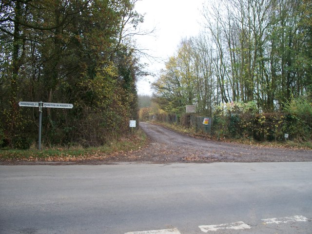
Image: © Michael Dibb Taken: 9 Nov 2009
This view is from the opposite side of the minor road from Moreton-in-Marsh to Todenham. The track runs around the 'back' of the Fire Service Technical College to the A44. The college occupies the main part of what was once RAF Moreton-in-Marsh. The signs on the right of the track indicate that the college is Crown Property and warn of dire consequences for trespassers.
Images are licensed for reuse under creativecommons.org/licenses/by-sa/2.0
Image Location


Leaflet Map data © OpenStreetMap
Latitude
52.001299
Longitude
-1.677596