Fire Service Technical College
Introduction
The photograph on this page of Fire Service Technical College by Michael Dibb as part of the Geograph project.
The Geograph project started in 2005 with the aim of publishing, organising and preserving representative images for every square kilometre of Great Britain, Ireland and the Isle of Man.

There are currently over 7.5m images from over 14,400 individuals and you can help contribute to the project by visiting https://www.geograph.org.uk
Fire Service Technical College
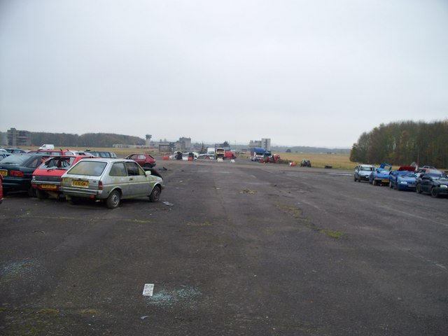
Image: © Michael Dibb Taken: 9 Nov 2009
This view is looking through the boundary fence of the College. This was once one of the main runways of RAF Moreton-in-Marsh. Now it is the practice area for rescuing people from crashed cars.
Images are licensed for reuse under creativecommons.org/licenses/by-sa/2.0
Image Location


Leaflet Map data © OpenStreetMap
Latitude
52.00004
Longitude
-1.67746