Sandford near Wareham
Introduction
The photograph on this page of Sandford near Wareham by Peter Elsdon as part of the Geograph project.
The Geograph project started in 2005 with the aim of publishing, organising and preserving representative images for every square kilometre of Great Britain, Ireland and the Isle of Man.

There are currently over 7.5m images from over 14,400 individuals and you can help contribute to the project by visiting https://www.geograph.org.uk
Sandford near Wareham
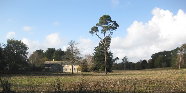
Image: © Peter Elsdon Taken: 15 Nov 2009
Farm buildings just west of the A351 leaving Sandford towards Poole
Images are licensed for reuse under creativecommons.org/licenses/by-sa/2.0
Image Location
Latitude
50.714094
Longitude
-2.092863