Malpas Brook,Crindau, Newport
Introduction
The photograph on this page of Malpas Brook,Crindau, Newport by Jaggery as part of the Geograph project.
The Geograph project started in 2005 with the aim of publishing, organising and preserving representative images for every square kilometre of Great Britain, Ireland and the Isle of Man.

There are currently over 7.5m images from over 14,400 individuals and you can help contribute to the project by visiting https://www.geograph.org.uk
Malpas Brook,Crindau, Newport
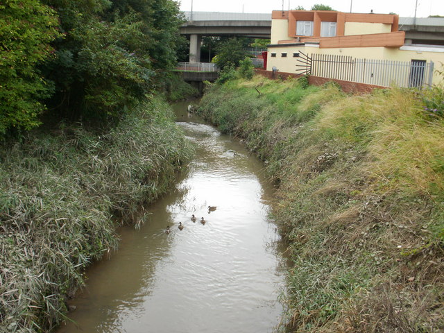
Image: © Jaggery Taken: 23 Aug 2009
Exactly where Malpas Brook becomes Crindau Pill (tidal inlet) is unclear from maps, but in this part of South East Wales, pills are characterised by muddy banks , caused by the huge tidal range. So on that basis, this is the lower end of Malpas Brook, looking upstream towards the A4042 and Coronation Working Men's Club http://www.geograph.org.uk/photo/1581875 The 5 ducks are more interested in something on the bank rather than the photographer who will preserve their image forever on Geograph.
Images are licensed for reuse under creativecommons.org/licenses/by-sa/2.0
Image Location
Latitude
51.596501
Longitude
-2.997537