Tudhoe Village
Introduction
The photograph on this page of Tudhoe Village by Philip Barker as part of the Geograph project.
The Geograph project started in 2005 with the aim of publishing, organising and preserving representative images for every square kilometre of Great Britain, Ireland and the Isle of Man.

There are currently over 7.5m images from over 14,400 individuals and you can help contribute to the project by visiting https://www.geograph.org.uk
Tudhoe Village
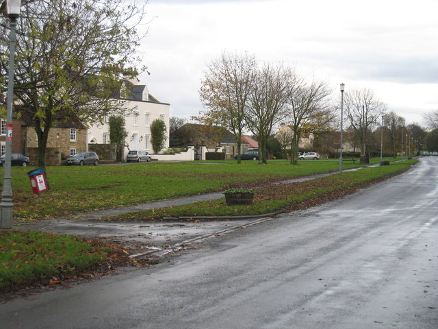
Image: © Philip Barker Taken: 8 Nov 2009
This photograph shows Tudhoe Village on a wet November day. Tudhoe House can be seen as the large white building in the left of the picture.
Images are licensed for reuse under creativecommons.org/licenses/by-sa/2.0
Image Location
Latitude
54.715106
Longitude
-1.599954