View towards Shrigley from Killyleagh Castle
Introduction
The photograph on this page of View towards Shrigley from Killyleagh Castle by David Hawgood as part of the Geograph project.
The Geograph project started in 2005 with the aim of publishing, organising and preserving representative images for every square kilometre of Great Britain, Ireland and the Isle of Man.

There are currently over 7.5m images from over 14,400 individuals and you can help contribute to the project by visiting https://www.geograph.org.uk
View towards Shrigley from Killyleagh Castle
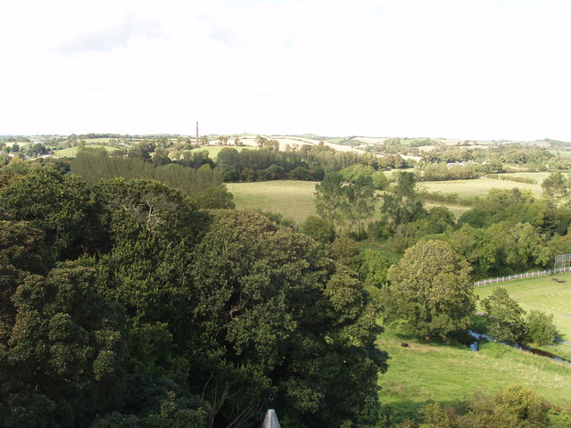
Image: © David Hawgood Taken: 4 Sep 2009
The fields in the foreground are between Shrigley Road and Comber Road. The chimney at Shrigley visible on the skyline is also seen in Image
Images are licensed for reuse under creativecommons.org/licenses/by-sa/2.0
Image Location
Latitude
54.405686
Longitude
-5.655868