Berridale House
Introduction
The photograph on this page of Berridale House by Simon Carey as part of the Geograph project.
The Geograph project started in 2005 with the aim of publishing, organising and preserving representative images for every square kilometre of Great Britain, Ireland and the Isle of Man.

There are currently over 7.5m images from over 14,400 individuals and you can help contribute to the project by visiting https://www.geograph.org.uk
Berridale House
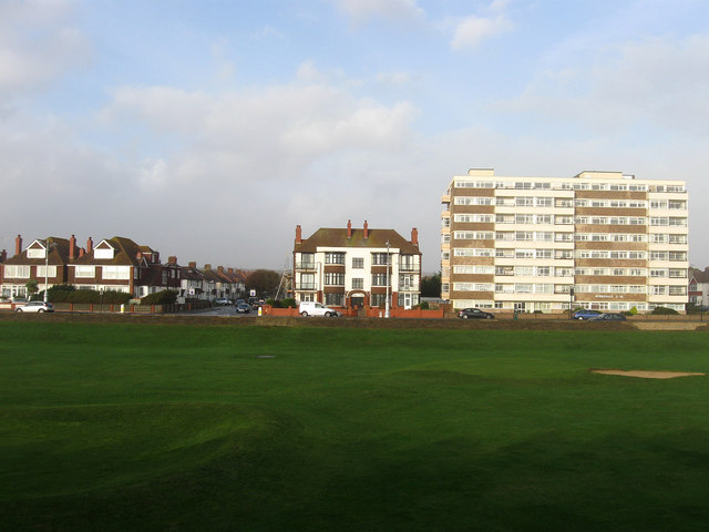
Image: © Simon Carey Taken: 14 Nov 2009
Viewed from the rear of the beach huts on Western Esplanade. Between the esplanade and the A259 is a miniature golf course built on the former bed of the River Adur. The smaller block to the left is Welbeck Court which is on the corner of Welbeck Avenue.
Images are licensed for reuse under creativecommons.org/licenses/by-sa/2.0
Image Location
Latitude
50.82712
Longitude
-0.193183