Housing diversity (Irene Road)
Introduction
The photograph on this page of Housing diversity (Irene Road) by Ian Capper as part of the Geograph project.
The Geograph project started in 2005 with the aim of publishing, organising and preserving representative images for every square kilometre of Great Britain, Ireland and the Isle of Man.

There are currently over 7.5m images from over 14,400 individuals and you can help contribute to the project by visiting https://www.geograph.org.uk
Housing diversity (Irene Road)
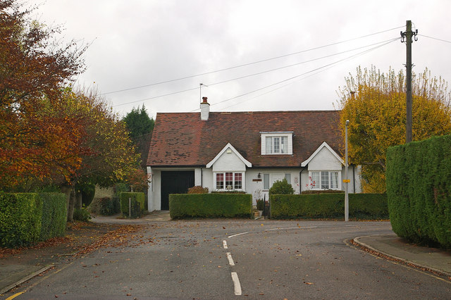
Image: © Ian Capper Taken: 12 Nov 2009
A series of photos showing the diversity of housing in one gridsquare in outer suburbia. For others in series see http://www.geograph.org.uk/search.php?i=1905481. Any further information, such as building dates and what was on the sites before building, would be appreciated. This is Irene Road, built off Keswick Road in the second phase of development of the Knoll/Broom Hill area, first appearing on maps in 1930. The footpath to the left of the house is one of a number of such paths in the area that predate its development for housing.
Images are licensed for reuse under creativecommons.org/licenses/by-sa/2.0
Image Location
Latitude
51.379289
Longitude
0.095327