Broomhill Road
Introduction
The photograph on this page of Broomhill Road by Ian Capper as part of the Geograph project.
The Geograph project started in 2005 with the aim of publishing, organising and preserving representative images for every square kilometre of Great Britain, Ireland and the Isle of Man.

There are currently over 7.5m images from over 14,400 individuals and you can help contribute to the project by visiting https://www.geograph.org.uk
Broomhill Road
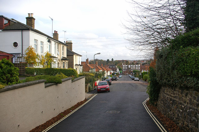
Image: © Ian Capper Taken: 12 Nov 2009
Looking down towards the High Street, with late Victorian villas on the left (see Image) with the later development on the site of White Hart Meadow further down (see Image). On the skyline in the background can be seen the roofline of All Saints Church.
Images are licensed for reuse under creativecommons.org/licenses/by-sa/2.0
Image Location
Latitude
51.37963
Longitude
0.09941