Junction of Keswick Road and Cyril Road
Introduction
The photograph on this page of Junction of Keswick Road and Cyril Road by Ian Capper as part of the Geograph project.
The Geograph project started in 2005 with the aim of publishing, organising and preserving representative images for every square kilometre of Great Britain, Ireland and the Isle of Man.

There are currently over 7.5m images from over 14,400 individuals and you can help contribute to the project by visiting https://www.geograph.org.uk
Junction of Keswick Road and Cyril Road
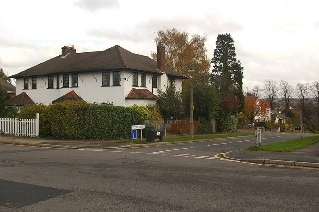
Image: © Ian Capper Taken: 12 Nov 2009
Part of the Knoll area of Orpington, the layout of which was set out in around 1910.
Images are licensed for reuse under creativecommons.org/licenses/by-sa/2.0
Image Location
Latitude
51.379179
Longitude
0.096975