Irene Road
Introduction
The photograph on this page of Irene Road by Ian Capper as part of the Geograph project.
The Geograph project started in 2005 with the aim of publishing, organising and preserving representative images for every square kilometre of Great Britain, Ireland and the Isle of Man.

There are currently over 7.5m images from over 14,400 individuals and you can help contribute to the project by visiting https://www.geograph.org.uk
Irene Road
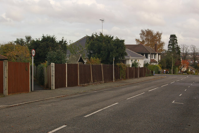
Image: © Ian Capper Taken: 12 Nov 2009
Looking towards its junction with Keswick Road with Cyril Road beyond. The footpath is one of a network of footpaths in the Knoll area of Orpington, the routes of which are shown on the 1868 Godfrey edition map of Orpington, which explains why they cut across the current, much more recent, road layout. This one runs from Irene Road to Keswick Road, before continuing to Broomhill Road. It is the same as the one shown in Image, viewed from the opposite end.
Images are licensed for reuse under creativecommons.org/licenses/by-sa/2.0
Image Location
Latitude
51.379314
Longitude
0.096435