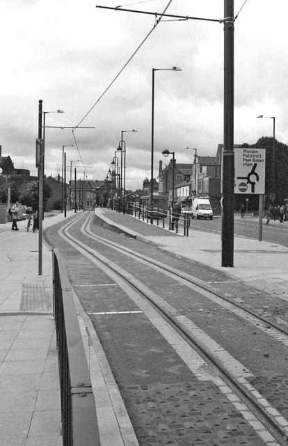
Manchester Metrolink - the approach to the Eccles terminus
Introduction
The photograph on this page of Manchester Metrolink - the approach to the Eccles terminus by P L Chadwick as part of the Geograph project.
The Geograph project started in 2005 with the aim of publishing, organising and preserving representative images for every square kilometre of Great Britain, Ireland and the Isle of Man.
There are currently over 7.5m images from over 14,400 individuals and you can help contribute to the project by visiting https://www.geograph.org.uk

Image: © P L Chadwick Taken: Unknown
Ahead is the last stop, Eccles, on the Eccles branch of the Manchester Metrolink. It is adjacent to Regent Street. The system uses high-floor trams, because much of its routes use converted railways (the Eccles line being an exception). This means that the platforms at the tram stops are quite high, but they have ramps to assist wheel-chair users and other people with restricted mobility. Image; Image

