A Glaury Field Entrance
Introduction
The photograph on this page of A Glaury Field Entrance by Mary and Angus Hogg as part of the Geograph project.
The Geograph project started in 2005 with the aim of publishing, organising and preserving representative images for every square kilometre of Great Britain, Ireland and the Isle of Man.

There are currently over 7.5m images from over 14,400 individuals and you can help contribute to the project by visiting https://www.geograph.org.uk
A Glaury Field Entrance
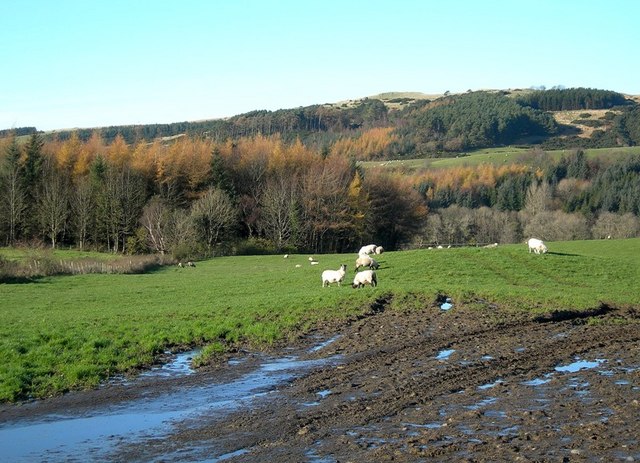
Image: © Mary and Angus Hogg Taken: 11 Nov 2009
The entrance to this field near Colmonell has become completely choked with thick, soft mud (or glaur, as we say in Scotland) after a long period of wet weather.
Images are licensed for reuse under creativecommons.org/licenses/by-sa/2.0
Image Location
Latitude
55.133204
Longitude
-4.887232