Melville House
Introduction
The photograph on this page of Melville House by Derek Harper as part of the Geograph project.
The Geograph project started in 2005 with the aim of publishing, organising and preserving representative images for every square kilometre of Great Britain, Ireland and the Isle of Man.

There are currently over 7.5m images from over 14,400 individuals and you can help contribute to the project by visiting https://www.geograph.org.uk
Melville House
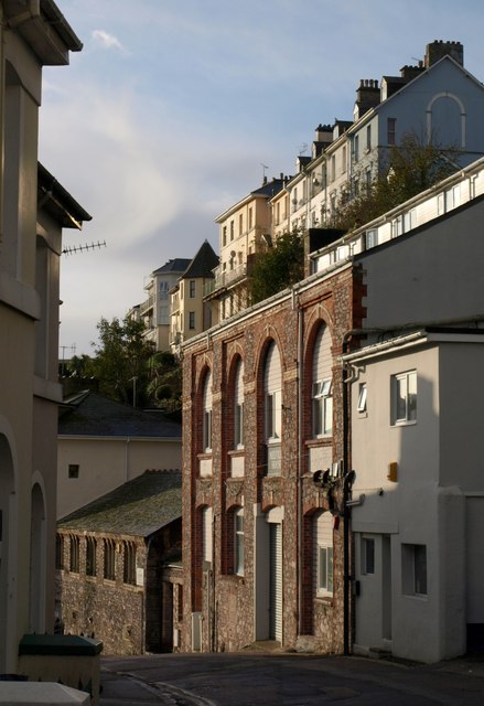
Image: © Derek Harper Taken: 7 Nov 2009
The limestone and brick building with four rounded windows on the first floor, "formerly the Coburg Joinery and a warehouse {,} has been converted to offices; the fenestration in the splendid openings is most unimaginative" http://www.torbay.gov.uk/abbeyroad-caa.pdf . The low building below it is former St. Luke's School, now a scouts headquarters. The terrace of 7 properties above is on Warren Road.
Images are licensed for reuse under creativecommons.org/licenses/by-sa/2.0
Image Location


Leaflet Map data © OpenStreetMap
Latitude
50.46363
Longitude
-3.527787