Union Street
Introduction
The photograph on this page of Union Street by Martin Addison as part of the Geograph project.
The Geograph project started in 2005 with the aim of publishing, organising and preserving representative images for every square kilometre of Great Britain, Ireland and the Isle of Man.

There are currently over 7.5m images from over 14,400 individuals and you can help contribute to the project by visiting https://www.geograph.org.uk
Union Street
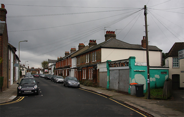
Image: © Martin Addison Taken: 8 Nov 2009
Seen from the junction with Stapylton Road. Two single storey shop units are tagged onto the end of the terrace here. One remains in use whilst the other has been boarded up.
Images are licensed for reuse under creativecommons.org/licenses/by-sa/2.0
Image Location
Latitude
51.653568
Longitude
-0.205323