Housing on St. Albans Road
Introduction
The photograph on this page of Housing on St. Albans Road by Martin Addison as part of the Geograph project.
The Geograph project started in 2005 with the aim of publishing, organising and preserving representative images for every square kilometre of Great Britain, Ireland and the Isle of Man.

There are currently over 7.5m images from over 14,400 individuals and you can help contribute to the project by visiting https://www.geograph.org.uk
Housing on St. Albans Road
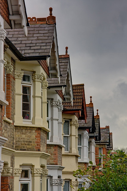
Image: © Martin Addison Taken: 8 Nov 2009
Detail of terraced housing opposite Christ Church. There are detail differences in the roof line with some houses retaining finials and some not. one house has had its slates replaced by tiles. The furthest two houses are of a different design to the others, featuring brick bay windows instead of the stone moldings used on the others, and different finials on the roof.
Images are licensed for reuse under creativecommons.org/licenses/by-sa/2.0
Image Location
Latitude
51.658515
Longitude
-0.205417