Cenacle Convent grounds, Whalley Range, Manchester
Introduction
The photograph on this page of Cenacle Convent grounds, Whalley Range, Manchester by Tom Jolliffe as part of the Geograph project.
The Geograph project started in 2005 with the aim of publishing, organising and preserving representative images for every square kilometre of Great Britain, Ireland and the Isle of Man.

There are currently over 7.5m images from over 14,400 individuals and you can help contribute to the project by visiting https://www.geograph.org.uk
Cenacle Convent grounds, Whalley Range, Manchester
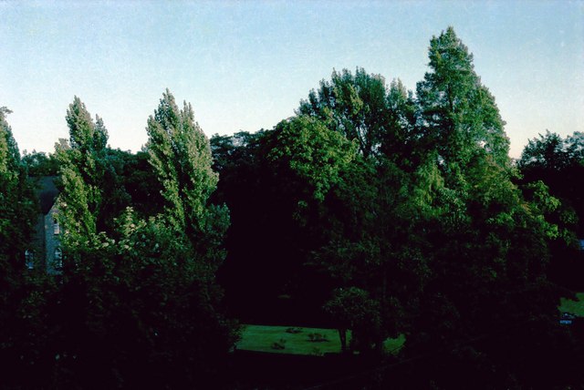
Image: © Tom Jolliffe Taken: Unknown
This photograph shows the grounds of the Cenacle Convent in 1982. The Retreat House is shown on the left hand side.
Images are licensed for reuse under creativecommons.org/licenses/by-sa/2.0
Image Location
Latitude
53.448434
Longitude
-2.253368