St Hilda's Church rooftop , Griffithstown, Pontypool
Introduction
The photograph on this page of St Hilda's Church rooftop , Griffithstown, Pontypool by Jaggery as part of the Geograph project.
The Geograph project started in 2005 with the aim of publishing, organising and preserving representative images for every square kilometre of Great Britain, Ireland and the Isle of Man.

There are currently over 7.5m images from over 14,400 individuals and you can help contribute to the project by visiting https://www.geograph.org.uk
St Hilda's Church rooftop , Griffithstown, Pontypool
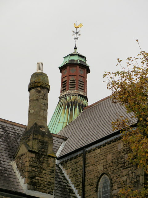
Image: © Jaggery Taken: 21 Oct 2009
A closeup view of the church http://www.geograph.org.uk/photo/1577394 chimney and weather vane.
Images are licensed for reuse under creativecommons.org/licenses/by-sa/2.0
Image Location
Latitude
51.684352
Longitude
-3.028397