St Hilda's Church Hall, Griffithstown, Pontypool
Introduction
The photograph on this page of St Hilda's Church Hall, Griffithstown, Pontypool by Jaggery as part of the Geograph project.
The Geograph project started in 2005 with the aim of publishing, organising and preserving representative images for every square kilometre of Great Britain, Ireland and the Isle of Man.

There are currently over 7.5m images from over 14,400 individuals and you can help contribute to the project by visiting https://www.geograph.org.uk
St Hilda's Church Hall, Griffithstown, Pontypool
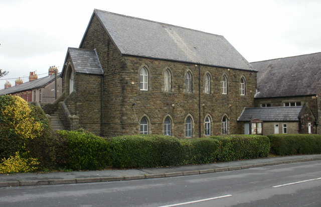
Image: © Jaggery Taken: 21 Oct 2009
Situated next to the church http://www.geograph.org.uk/photo/1577404 this stone building dates from the last decade of the 19th century. On the corner of Kemys Street and Cambria Street.
Images are licensed for reuse under creativecommons.org/licenses/by-sa/2.0
Image Location
Latitude
51.684364
Longitude
-3.026951