Sebastopol / Griffithstown boundary
Introduction
The photograph on this page of Sebastopol / Griffithstown boundary by Jaggery as part of the Geograph project.
The Geograph project started in 2005 with the aim of publishing, organising and preserving representative images for every square kilometre of Great Britain, Ireland and the Isle of Man.

There are currently over 7.5m images from over 14,400 individuals and you can help contribute to the project by visiting https://www.geograph.org.uk
Sebastopol / Griffithstown boundary
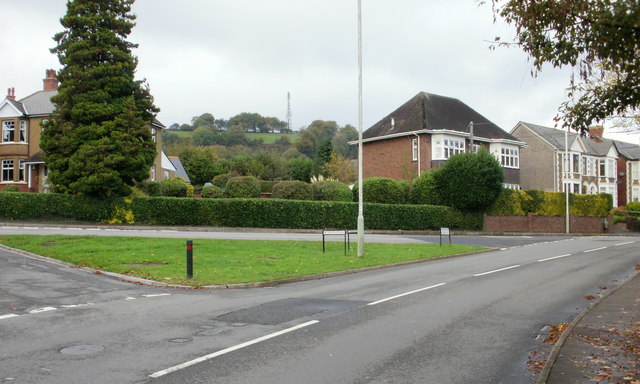
Image: © Jaggery Taken: 21 Oct 2009
The sign next to the lamppost on the grassy island announces the start of Griffithstown (and thus the end of Sebastopol). The view is of Greenhill Road. Cwrdy Road and The Avenue join from the left.
Images are licensed for reuse under creativecommons.org/licenses/by-sa/2.0
Image Location
Latitude
51.681655
Longitude
-3.028336