Tyrone Street, Belfast
Introduction
The photograph on this page of Tyrone Street, Belfast by Albert Bridge as part of the Geograph project.
The Geograph project started in 2005 with the aim of publishing, organising and preserving representative images for every square kilometre of Great Britain, Ireland and the Isle of Man.

There are currently over 7.5m images from over 14,400 individuals and you can help contribute to the project by visiting https://www.geograph.org.uk
Tyrone Street, Belfast
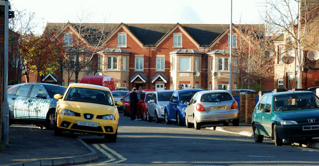
Image: © Albert Bridge Taken: 10 Nov 2009
Tyrone Street/Sraid Thir Eoghain and Wall Street/Sraid An Bhalla (background) are both streets in a redeveloped area off Carrick Hill/Cnoc na Carraige Image For those who like to record such things, the townland is Town Parks. See also Image
Images are licensed for reuse under creativecommons.org/licenses/by-sa/2.0
Image Location
Latitude
54.604406
Longitude
-5.934511