Rutland Road and Rutland Place, Maidenhead
Introduction
The photograph on this page of Rutland Road and Rutland Place, Maidenhead by Andrew Smith as part of the Geograph project.
The Geograph project started in 2005 with the aim of publishing, organising and preserving representative images for every square kilometre of Great Britain, Ireland and the Isle of Man.

There are currently over 7.5m images from over 14,400 individuals and you can help contribute to the project by visiting https://www.geograph.org.uk
Rutland Road and Rutland Place, Maidenhead
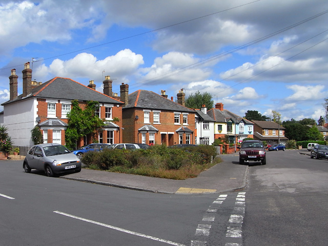
Image: © Andrew Smith Taken: 22 Aug 2009
Rutland Place is the road going off to the left. This is part of the pleasant residential area to the west of All Saints' church.
Images are licensed for reuse under creativecommons.org/licenses/by-sa/2.0
Image Location
Latitude
51.51961
Longitude
-0.739137