High Wycombe: The Pastures Church
Introduction
The photograph on this page of High Wycombe: The Pastures Church by Nigel Cox as part of the Geograph project.
The Geograph project started in 2005 with the aim of publishing, organising and preserving representative images for every square kilometre of Great Britain, Ireland and the Isle of Man.

There are currently over 7.5m images from over 14,400 individuals and you can help contribute to the project by visiting https://www.geograph.org.uk
High Wycombe: The Pastures Church
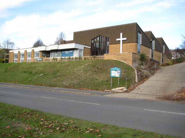
Image: © Nigel Cox Taken: 7 Nov 2009
The church dates from 1970 when it was built to serve the new housing estates on the north side of Wycombe. It is on the road called The Pastures hence the name. The church's website is here http://www.thepastures.org.uk/ Curiously it does not merit the + symbol of a church on the current Ordnance Survey 1:50,000 scale mapping although it is correctly shown on the larger scale 1:25,000 series. It is visible at the top of the hill in Shaun's Image
Images are licensed for reuse under creativecommons.org/licenses/by-sa/2.0
Image Location
Latitude
51.639948
Longitude
-0.767162