Menstrie Castle
Introduction
The photograph on this page of Menstrie Castle by Colin Smith as part of the Geograph project.
The Geograph project started in 2005 with the aim of publishing, organising and preserving representative images for every square kilometre of Great Britain, Ireland and the Isle of Man.

There are currently over 7.5m images from over 14,400 individuals and you can help contribute to the project by visiting https://www.geograph.org.uk
Menstrie Castle
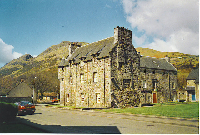
Image: © Colin Smith Taken: Unknown
Menstrie is one of the "Hillfoot Towns", a line of small towns on the southern edge of the Ochil Hills, east of Stirling. On the skyline behind the castle are Dumyat (famous viewpoint) and The Kips.
Images are licensed for reuse under creativecommons.org/licenses/by-sa/2.0
Image Location
Latitude
56.150468
Longitude
-3.853589