Hayfield Lane, Lerwick
Introduction
The photograph on this page of Hayfield Lane, Lerwick by Mike Pennington as part of the Geograph project.
The Geograph project started in 2005 with the aim of publishing, organising and preserving representative images for every square kilometre of Great Britain, Ireland and the Isle of Man.

There are currently over 7.5m images from over 14,400 individuals and you can help contribute to the project by visiting https://www.geograph.org.uk
Hayfield Lane, Lerwick
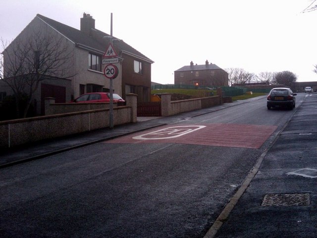
Image: © Mike Pennington Taken: 10 Nov 2009
At the top of the lane is Hayfield House, formerly a 'country' house outside the Lerwick burgh, but currently housing the Education Department of Shetland Islands Council.
Images are licensed for reuse under creativecommons.org/licenses/by-sa/2.0
Image Location
Latitude
60.153152
Longitude
-1.158691