The track to Cwm yr hun
Introduction
The photograph on this page of The track to Cwm yr hun by David Medcalf as part of the Geograph project.
The Geograph project started in 2005 with the aim of publishing, organising and preserving representative images for every square kilometre of Great Britain, Ireland and the Isle of Man.

There are currently over 7.5m images from over 14,400 individuals and you can help contribute to the project by visiting https://www.geograph.org.uk
The track to Cwm yr hun
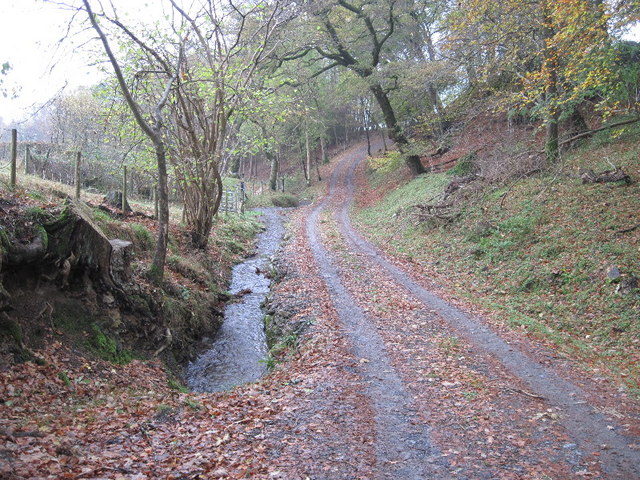
Image: © David Medcalf Taken: 9 Nov 2009
At this point the public bridleway diverges to the left of the photo and is almost impassable due to brambles and fallen trees.
Images are licensed for reuse under creativecommons.org/licenses/by-sa/2.0
Image Location
Latitude
52.587787
Longitude
-3.652568