Track to Parkside Farm
Introduction
The photograph on this page of Track to Parkside Farm by Derek Harper as part of the Geograph project.
The Geograph project started in 2005 with the aim of publishing, organising and preserving representative images for every square kilometre of Great Britain, Ireland and the Isle of Man.

There are currently over 7.5m images from over 14,400 individuals and you can help contribute to the project by visiting https://www.geograph.org.uk
Track to Parkside Farm
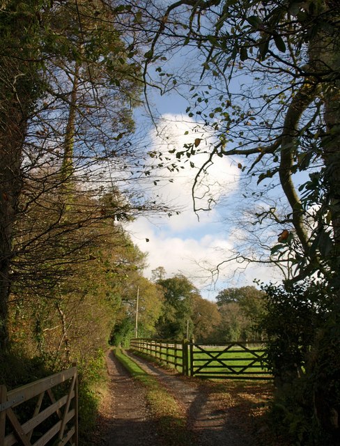
Image: © Derek Harper Taken: 5 Nov 2009
Seen from Ledgate Lane, between Langage and Beechwood Crosses, and passing through the belt of trees that runs alongside the lane from Sparkwell Bridge (across the nearby main railway line) northwards.
Images are licensed for reuse under creativecommons.org/licenses/by-sa/2.0
Image Location
Latitude
50.395341
Longitude
-4.003406