High Wycombe: 80
Introduction
The photograph on this page of High Wycombe: 80 by Nigel Cox as part of the Geograph project.
The Geograph project started in 2005 with the aim of publishing, organising and preserving representative images for every square kilometre of Great Britain, Ireland and the Isle of Man.

There are currently over 7.5m images from over 14,400 individuals and you can help contribute to the project by visiting https://www.geograph.org.uk
High Wycombe: 80
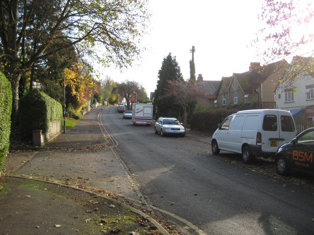
Image: © Nigel Cox Taken: 7 Nov 2009
Well, it says so on the map! (The 80 is actually a spot height value in metres above sea level on the parallel Hughenden Road). In fact this is the northern end of Coningsby Road. The hot snacks trailer seems a trifle incongruous.
Images are licensed for reuse under creativecommons.org/licenses/by-sa/2.0
Image Location
Latitude
51.640559
Longitude
-0.748359