Haswicks field
Introduction
The photograph on this page of Haswicks field by Andy Waddington as part of the Geograph project.
The Geograph project started in 2005 with the aim of publishing, organising and preserving representative images for every square kilometre of Great Britain, Ireland and the Isle of Man.

There are currently over 7.5m images from over 14,400 individuals and you can help contribute to the project by visiting https://www.geograph.org.uk
Haswicks field
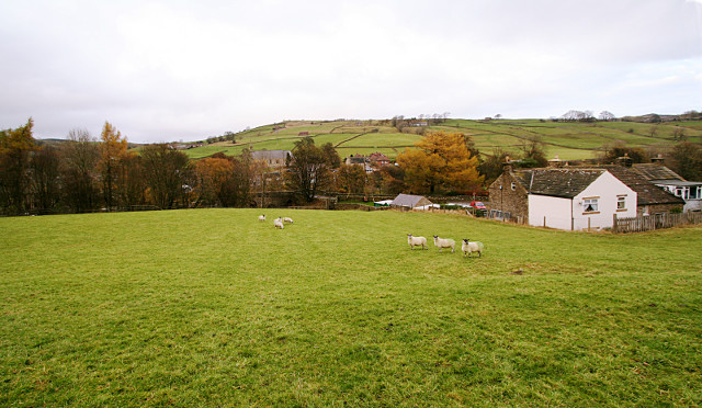
Image: © Andy Waddington Taken: 8 Nov 2009
A stile with disconcertingly wobbly precast concrete steps leads from the south of the Westgate bridge into this field, from where footpaths diverge, one to follow the river right bank upstream, the other to cross the field up the hill. This view looks back on the latter from near the top of the field towards Westgate village. The buildings on the right are West Haswicks, a small group of houses, which, along with a similar sized group up the lane, East Haswicks, make up the hamlet of Haswicks on the south side of the River Wear.
Images are licensed for reuse under creativecommons.org/licenses/by-sa/2.0
Image Location
Latitude
54.73599
Longitude
-2.142848